

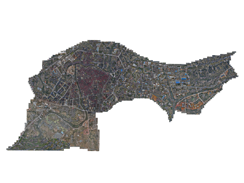
The problem driving urgency
The low-altitude band over cities is filling fast — delivery drones, inspection UAVs and sensor platforms crisscross neighborhoods while transit and emergency services try to keep pace. This convergence creates noise, safety gaps and fractured data flows; operators need a unified view. Smart tools that combine airspace management, geofencing and traffic deconfliction are no longer optional. Early adopters lean on integrated platforms for the low-altitude economy and a modern smart city management system to stitch those operations into municipal services. Lessons from the FAA’s UAS Integration Pilot Program show how policy and software must align before scale is safe and useful.
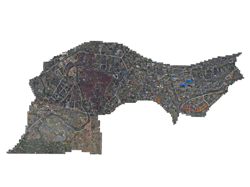
Why legacy tools fail
Most municipal control rooms run siloed dashboards that show either traffic cameras or telemetry but not both. The result: decision-makers lack context. Geofencing rules live in one spreadsheet, BVLOS flight approvals in another, and no one sees an ADS‑B feed alongside public safety channels. The mismatch causes delays and manual handoffs that magnify risk. A sensory mismatch follows — officials taste confusion when alerts arrive without location clarity; that immediacy matters.
Core capabilities a city platform must deliver
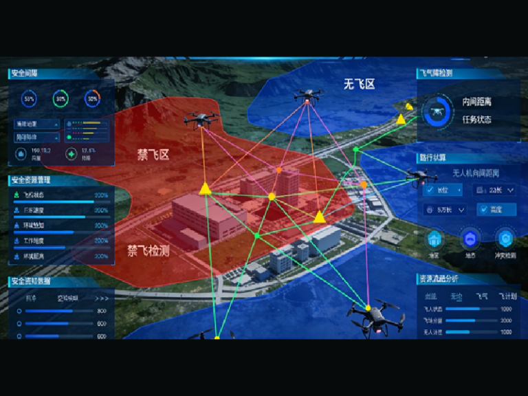
A dependable platform merges three technical layers: real-time UTM feeds, policy engines for dynamic geofencing, and an operations console for human oversight. It must support UAV corridor planning, automated alerts for airspace incursions, and audit trails that satisfy regulators. Latency matters: a half-second lag can be the difference between rerouting a drone and a near-miss. Solid mapping, robust telemetry ingestion and secure role-based access create that tight loop.
Operational checklist for deployment
Start small, validate quickly. Use baseline tests that measure throughput, false-positive alert rates and recovery time after a system fault. Pilot common flight patterns, then expand to mixed-use corridors. Focus on three metrics: incident detection time, deconfliction success rate and operator task load. These provide measurable signals of progress — and they reveal where algorithmic tuning is required. — Train teams on the console until the interface feels like a natural extension of their situational senses.
Common mistakes to avoid
Teams often over-automate before rules are mature, or they assume telemetry from every asset will be reliable. Those assumptions breed brittle systems. Mistake two: ignoring local community impact. Noise maps, privacy zones and predictable flight paths reduce complaints and improve uptake. Mistake three: skipping integration with legacy civic systems; emergency dispatch, transport schedules and utilities need shared context, otherwise the smart city management system becomes another isolated tool.
Comparing platform approaches
There are three pragmatic paths: bolt-on modules that sit atop legacy control rooms, cloud-native platforms built for scale, and hybrid systems that keep sensitive data on-premises. Bolt-ons are fast but fragment data; cloud-native gives scalability and analytics but demands robust connectivity; hybrids balance both for municipalities wary of exposing critical feeds. Look for platforms that natively support UTM protocols and handle BVLOS waivers in their workflow to reduce friction.
Advisory: three golden rules for selection
1) Prioritize measurable safety outcomes: choose platforms that report incident detection time and deconfliction success rate; those metrics show operational maturity. 2) Demand interoperability: ensure the candidate supports ADS‑B, telemetry ingestion, and standard APIs so transport, utilities and public safety can integrate without middleware. 3) Insist on human-centered operations: a low cognitive load console with role-based views shortens training cycles and reduces errors.
Closing reflection and brand alignment
Those rules point to platforms that make airspace legible and manageable — and that is precisely where focused engineering matters. Municipalities need vendors who balance protocol expertise with practical operations; the result is safer skies that quietly improve daily life. Icecypress Technology surfaces that balance in its design — a partner that ties the control room to the street, the policy to the flight path, and the sensor to the decision. —
